
Table of Contents
- What Is Pajinka and Why It Matters
- How to Get to the Tip of Australia
- Cape York 4WD Tours: What to Expect
- Best Time to Visit Cape York
- Indigenous Cultural Protocols at Pajinka
- Vehicle Preparation and Safety on Remote Tracks
- Accommodation, Camping and Nearby Attractions
- Frequently Asked Questions
Last Updated: September 22, 2026
What Is Pajinka and Why It Matters
Pajinka is the name given to the northernmost point of mainland Australia, the rugged headland at the tip of Cape York Peninsula where the continent narrows to a rocky, windswept cape, and the destination at the heart of pajinka the tip tours. For travellers chasing pajinka the tip tours, it is the final destination of one of the country's great 4WD adventures.
The Northernmost Point of Mainland Australia
The tip sits at the end of the Peninsula Development Road and the Bamaga Road, roughly a two-day drive from Cairns in good conditions. Reaching it means crossing river crossings, corrugated dirt sections, and long stretches with no fuel or phone coverage.
How to Get to the Tip of Australia
There are two realistic routes: self-drive 4WD or a guided tour. Most mature travellers choose guided, and the reasons are practical rather than timid. Navigation, river crossings, and vehicle recovery are skills that need regular practice, and the consequences of a mistake out here are serious.
Queensland Government road conditions and travel advice
Driving the Peninsula Development Road and Bamaga Road
Road conditions change with the season. Sealed sections alternate with dirt, and the unsealed stretches can turn difficult after rain. Check conditions before you commit to any section, and never assume yesterday's report still applies.
Cape York 4WD Tours: What to Expect
Cape York 4WD tours range from camping-based expeditions to fully accommodated small-group trips. The best ones build in rest days, keep group sizes small, and use guides who know both the terrain and the cultural landscape.
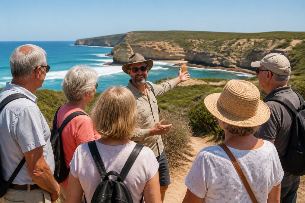
What a Typical Guided Itinerary Includes
Most reputable multi-day tours from Cairns follow a broadly similar shape, even when the marketing differs:
- Days 1-2: Cairns to Cooktown via the coastal route, often with a Daintree River crossing and a Cape Tribulation stop.
- Days 3-5: Cooktown to Coen or Archer River, with the first serious unsealed sections and river crossings.
- Days 6-7: The Bramwell Road and Bamaga Road north, staging at Bramaga or Seisia.
- Day 8: The final run to Pajinka, usually a half-day with time at the tip.
- Days 9-14: Return south, often via a different route or with rest days built in.
Group Size, Vehicles and Comfort
Small groups, commonly six to twelve guests, move faster through river crossings, fit into smaller campsites, and give guides time to explain what you are looking at. Larger coaches are rare on this route because the road simply does not suit them.
| Tour Style | Typical Duration | Group Size | Best For | Comfort Level |
|---|---|---|---|---|
| Camping expedition | 9-14 days | 8-16 | Budget-conscious, flexible travellers | Basic |
| Fully accommodated | 14 days | 6-12 | Travellers wanting comfort | High |
| Small-group guided | 9-14 days | 6-12 | Mature travellers, social groups | High |
| Self-drive with tag-along guide | 10-14 days | Varies | Confident drivers wanting support | Medium |
What Is Usually Not Included
Even on fully accommodated tours, the following are commonly excluded and worth confirming in writing before you book:
- Alcohol and some meals in towns
- National park or land access fees where they apply
- Scenic flights over the tip, which are often optional add-ons
- Travel insurance, including medical evacuation cover
- Personal gear such as swags, sleeping bags or hiking boots on camping tours
Questions to Ask Before Booking
A short list of questions separates a genuine tip tour from a Cape York tour that stops short:
- Does the itinerary reach Pajinka itself, or does it terminate at Bamaga or Seisia?
- How many nights are spent north of the Jardine River?
- What is the maximum group size, and how many guides travel with the group?
- What happens if a river crossing is closed, is there a contingency plan or a refund policy?
- Are cultural components led by, or arranged with, local Indigenous guides or representatives?
Best Time to Visit Cape York
The best time to visit Cape York is the dry season, roughly May to October, when the roads are most reliable and the tropical climate is at its mildest. The wet season brings road closures, river crossings that become genuinely dangerous, and limited access to the tip.
Pajinka!!! The Tip (of Cape York). Breathtakingly Beautiful.
Open Road Touring
Indigenous Cultural Protocols at Pajinka
Pajinka sits on land of profound significance to the local Indigenous communities, and access carries responsibilities.
Australian Government guidance on [Indigenous cultural(https://blog.curiouscompasscollective.com/respectful-cultural-tourism-australia-guide) heritage | arts.gov.au]
Vehicle Preparation and Safety on Remote Tracks
Preparation is the difference between an adventure and an incident. Whether you self-drive or join a guided trip, understand what the vehicle needs to handle.
Tyres and Pressures
Off-road tyres with a full-size spare and a repair kit are the minimum. On the unsealed sections of the Peninsula Development Road and the Bamaga Road, drivers often drop tyre pressures to increase the contact patch and reduce the chance of a staked sidewall. Pressures are not a set-and-forget figure, they change with load, surface and temperature, so carry a reliable gauge and check them at every fuel stop.
Recovery Gear You Actually Need
A snatch strap, rated shackles, a shovel and a set of recovery tracks are useful. A winch is useful but only if you know how to use it safely; a winch without training is a hazard, not a solution. Never use a tow ball as a recovery point.
Communication
Phone coverage on the peninsula is patchy at best and absent for long stretches. A UHF radio is useful for convoy and tag-along travel, and a satellite messenger or personal locator beacon is a way to call for help beyond coverage. Tell someone your intended route and expected arrival times before you leave the last reliable town.
Fuel, Water and Food
Plan refuelling around the known service points rather than hoping for the best. The longest gaps between reliable fuel on the main route are significant, and carrying extra fuel is common practice. Carry more water than you think you need. Food for at least 48 hours beyond your plan covers a closed crossing or a mechanical delay.
River Crossings
River crossings are the single most common cause of serious trouble on this route. Depth and current change fast, and a crossing that was fine last week may not be fine today. Walk or wade a crossing before driving it where it is safe to do so, watch for submerged rocks and washouts, and never cross alone if you can avoid it.
Pre-Departure Checklist
- Tyres rated for off-road use, with a full-size spare and repair kit
- Tyre pressure gauge and a means of re-inflating (compressor or service station access)
- Recovery gear: snatch strap, rated shackles, shovel, recovery tracks
- Communication: UHF radio plus satellite messenger or personal locator beacon
- Water and food for at least 48 hours beyond your plan
- First aid kit and any personal medication, stored accessibly
- Fuel range checked against the longest gap between service points
- Vehicle serviced, fluids topped, and belts and hoses inspected before departure
- Trip intention left with a responsible person, with check-in times agreed
Accommodation, Camping and Nearby Attractions
Options near the tip cluster around Bamaga and Seisia, which serve as the base for most final-day excursions. Camping grounds, basic accommodation, and supplies are available there, and both towns make sensible staging points before the last push to Pajinka.
Tourism Australia regional travel information
Frequently Asked Questions
Is Pajinka the same as the Tip of Cape York?
Yes. Pajinka is the traditional name for the northernmost point of mainland Australia, commonly called the Tip of Cape York. It sits at the top of the Cape York Peninsula in Far North Queensland. The area is a significant cultural site, and visitors should treat it with respect. Guided Pajinka the Tip tours often include cultural interpretation and help travellers understand the site's importance to local Indigenous communities.
Do I need a permit to visit Pajinka?
Some land access in the Cape York region requires permits, particularly for certain Indigenous lands and conservation areas. Requirements can change, so check with the relevant land councils or your tour operator before you travel. Reputable Cape York 4WD tours handle permit arrangements for their groups, which removes the guesswork. If you are self-driving, confirm current rules well ahead of your departure date.
What is the best time of year to visit the Tip of Cape York?
The dry season, roughly May to October, is the best time to visit Cape York. Roads are more reliable, creek crossings are lower, and the tropical climate is more comfortable. The wet season from November to April often closes the Peninsula Development Road and makes remote travel unsafe. Most guided Cape York 4WD tours run during the dry months for this reason.
Are there guided tours available for Pajinka?
Yes. Several operators run guided Cape York 4WD tours that include Pajinka as the final destination. Small-group tours typically cover vehicle preparation, permits, camping or accommodated stays, and cultural guidance. Curious Compass Collective runs a nine and fourteen day Cairns to Cape York trip that returns via Cooktown, Daintree and Cape Tribulation. Check tour providers directly for current dates and pricing.
Frequently asked questions
Is Pajinka the same as the Tip of Cape York?
Yes. Pajinka is the traditional name for the northernmost point of mainland Australia, commonly called the Tip of Cape York. It sits at the top of the Cape York Peninsula in Far North Queensland. The area is a significant cultural site, and visitors should treat it with respect. Guided Pajinka the Tip tours often include cultural interpretation and help travellers understand the site's importance to local Indigenous communities.
Do I need a permit to visit Pajinka?
Some land access in the Cape York region requires permits, particularly for certain Indigenous lands and conservation areas. Requirements can change, so check with the relevant land councils or your tour operator before you travel. Reputable Cape York 4WD tours handle permit arrangements for their groups, which removes the guesswork. If you are self-driving, confirm current rules well ahead of your departure date.
What is the best time of year to visit the Tip of Cape York?
The dry season, roughly May to October, is the best time to visit Cape York. Roads are more reliable, creek crossings are lower, and the tropical climate is more comfortable. The wet season from November to April often closes the Peninsula Development Road and makes remote travel unsafe. Most guided Cape York 4WD tours run during the dry months for this reason.
Are there guided tours available for Pajinka?
Yes. Several operators run guided Cape York 4WD tours that include Pajinka as the final destination. Small-group tours typically cover vehicle preparation, permits, camping or accommodated stays, and cultural guidance. Curious Compass Collective runs a nine and fourteen day Cairns to Cape York trip that returns via Cooktown, Daintree and Cape Tribulation. Check tour providers directly for current dates and pricing.